Ma’ale Nof
Trail Length – 2.5 km. Trail number 11248 on Trail Marking Map 11. Trail Marking Color – Black. Photo Credit: Dov Puniyo At the end of Nof Street, a pathway descends via steps into a picturesque, sheltered enclave with rocky overhangs, guiding you to the course of Nahal Tavia. Ascending from Nahal Tavia, a demanding […]
Nahal Tavia
Trail Length: 5 km Trail Number: 11247 on Trail Markings Map 11 Trail Marking Color: Blue Nahal Tavia is a trail that poses no significant obstacles for passage. The trail begins its descent at the Achva-Tzabar junction (near the tennis courts) and concludes at Road 31. Approximately one-third of the way along the trail, there’s […]
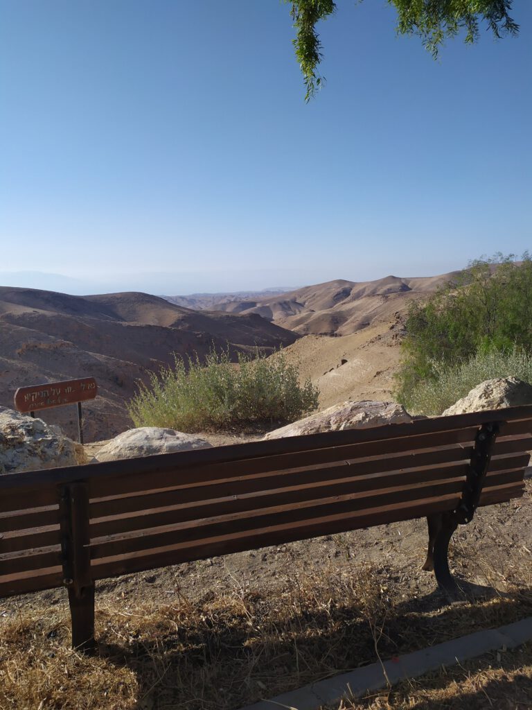
Gorni Observation Point to Kidod Reservoir
Gorni Observation Point was established near the hotel zone in remembrance of Ofer Gorni. It offers a stunning panoramic view of the Hatrurim Formation. The trail, marked in green, gradually descends from Nahal Ya’elim, guiding you to the proximity of Kidod Reservoir – an ancient water cistern carved into the rock, inviting easy exploration. You […]
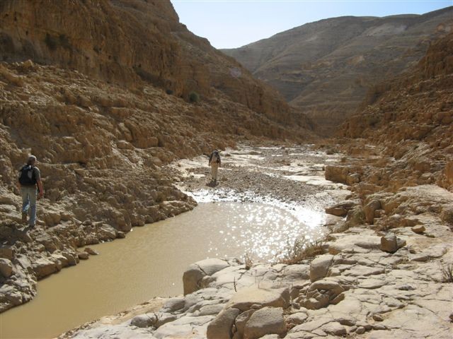
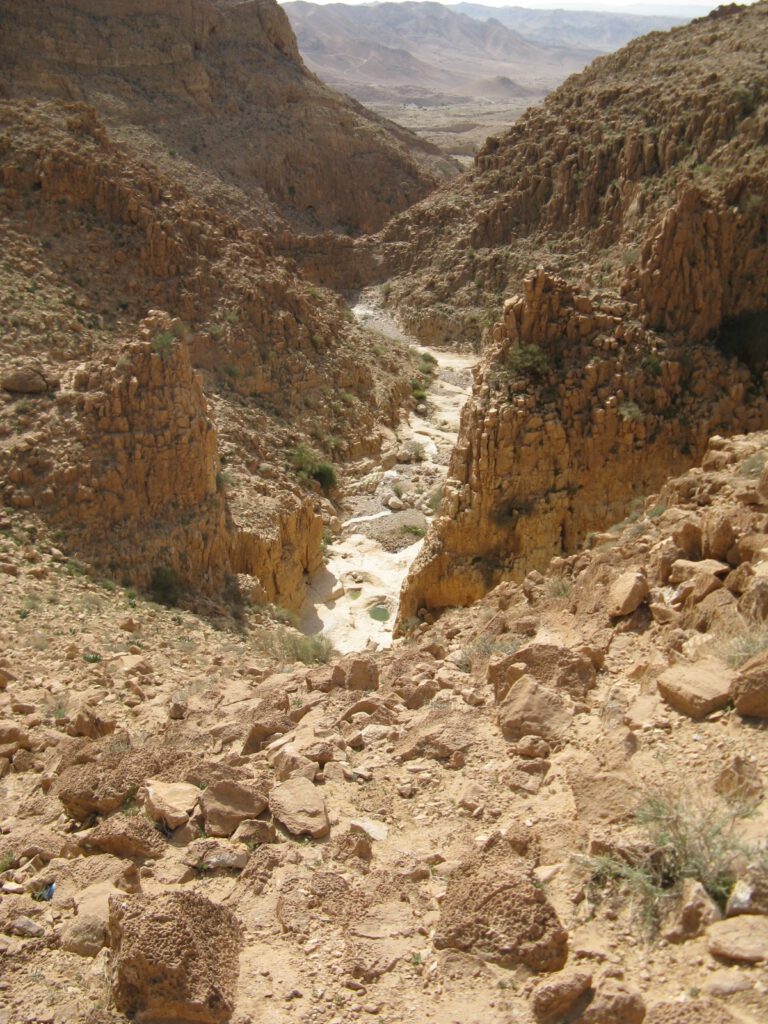
Nahal Ya’elim
Trail Length 5 km. Trail Number 11240 on Trail Markings Map 11. Trail Marking Color – red. Nahal Ya’elim stretches as a lengthy stream, commencing its journey at the Arad Junction and gracefully coursing its way until it reaches the majestic Dead Sea. In our itinerary, we encompass the initial section, leading you to the […]
Mitzpe Bikat Kanaim (Kanaim Valley Viewpoint)

Trail Length 2.5 km. Trail Number 11242 on Trail Markings Map 11. Trail Marking Color – Green. Photo Credit: Dov Punyio The trail begins from the Arad-Mitzpe Road, descending towards Nahal Rahaf. It crosses the channel, encircles the “Zman Midbar” tourist site, and connects to the off-road path leading to the “Misholay Rahaf” site, concluding […]
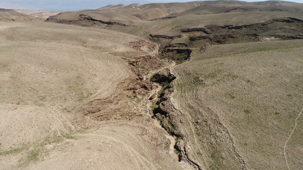
Nahal Kina – Loop Trail
An impressive trail marked number 11362 on Trail Markings Map 11. Generally considered a moderately challenging route, with trail markers in blue (for driving), and green (for walking). Photo Credit: Dov Punyio The length of the route is approximately 10 km (taking between 4-6 hours) Following the rainy season, this spot is ample water for […]
Nahal Kanfan
Trail Length 6.5 km. Trail number 11355 on Trail Markings Map 11. Trail marking color – black. Until 2005, Nahal Kanafan was relatively unknown to travelers in Israel. However, a group of nature enthusiasts from Arad marked it, along with Nahal Kina and Nahal Kisan, bringing attention to these streams. The trail starts its […]
Nahal Abuv
Nahal Abuv is a captivating trail that spans 3 kilometers, a black marked trail number 11353 on Trail Markings Map 11. The recommended period for hiking is from October to April. You can also consider hiking during summer days, excluding the hottest hours, from 6:00 AM to 9:00 AM or in the late afternoon, approximately […]
4X4 Off-Road Trails – From Masada to Nahal Bokek

Embark on a captivating adventure across the southern expanses of the Judean Desert. During this journey, you will navigate through stream channels and ascend to awe-inspiring summits, all while enjoying breathtaking vistas of the Dead Sea. Trail Length: 24 km, marked Road Condition: Good Entrance: Approximately half a kilometer west of the western entrance to […]
Shvil Chatzavim Trail

The “Shvil Chatzavim” trail, which translates to the “Trail of Anemones,” offers a short and pleasant hike through desert landscapes. The trail is particularly enchanting during the late summer season (end of August to September) when anemones bloom in the area. This family-friendly trail is short and suitable for everyone, with some moderate uphill sections […]