
Trail number 11359 on Trail Markings Map 11.
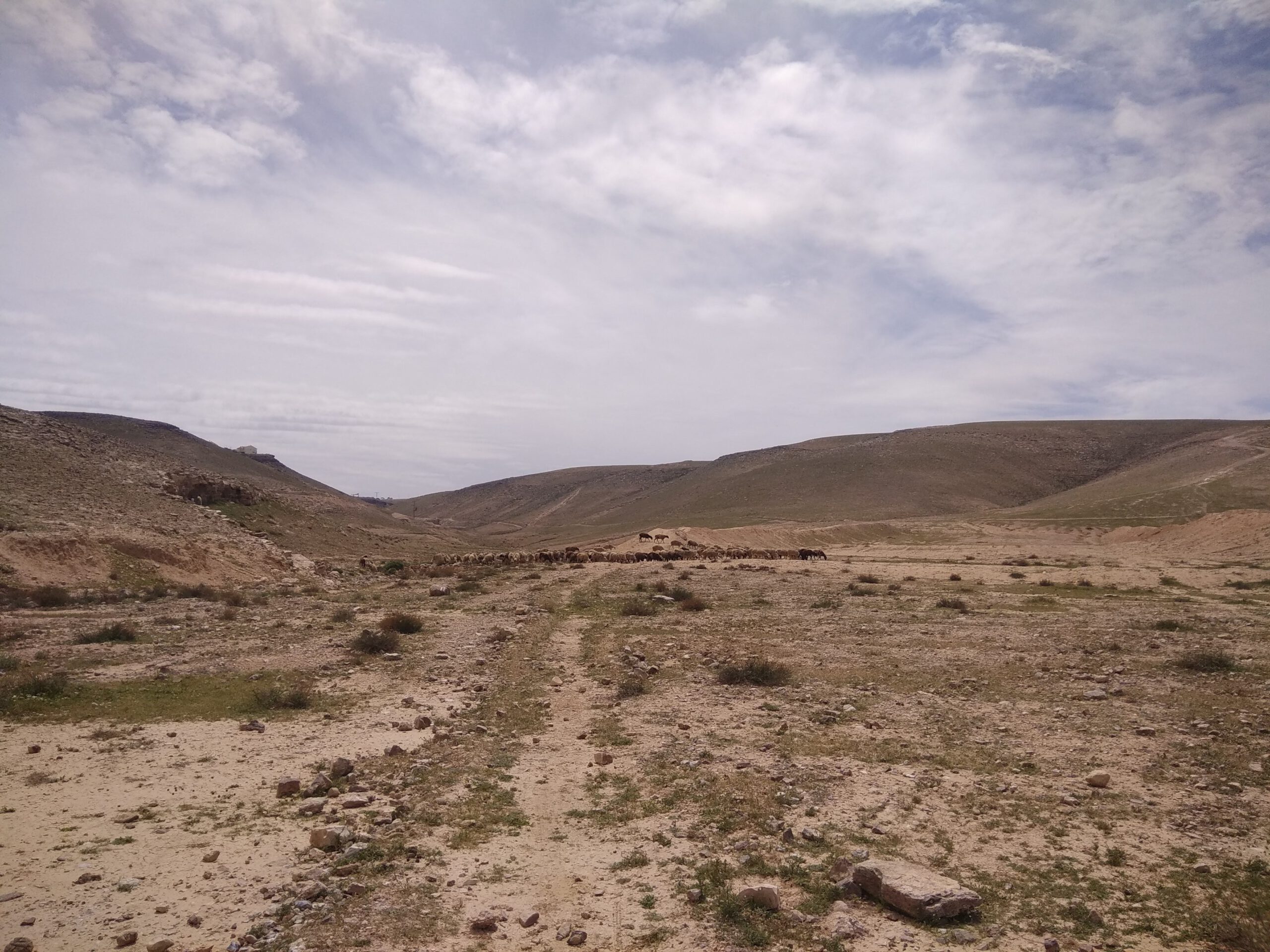
The trail offers a picturesque route that traverses the southern ridge of Arad, stretching from east to west. This path showcases the geological features of the Arad Valley, where streams originating from the west flow until they are obstructed by the “Syrian Arc” barrier. It is important to note that the trail is not a loop route; it starts at the Arad parking lot and concludes at Nahal Kina parking area.
Commencing from the Arad parking lot, your journey will take you south along a road that crosses Nahal Kina which transforms into Nahal Kisan. Follow the marked red trail to the right. After a brief walk, you will arrive at the M’agura Kisan (Kisan Cistern). From there, turn right once more, ascend a small hill, and then descend to Nahal Kina. As you reach the end of the red trail, turn right onto the green trail and proceed towards the parking area adjacent to Horvat Uza.